Location: Los Gatos, Santa Clara County
Hike Date: 2017, June 1, Thursday
Hike Stats: 5.33 miles, 2 hours 25 minutes, 1079 feet elevation gain

Attractive lichen-covered boulders and sandstone rock outcrops add to the scenic value of this area.
For other routes in Castle Rock State Park, see Hike in Castle Rock State Park – Saratoga Gap Trail.
FEATURES
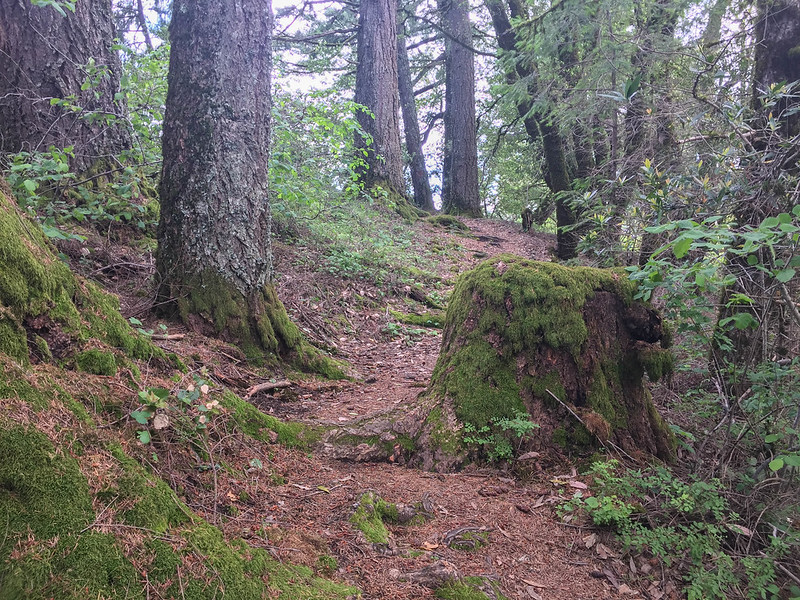
- Oak and mixed-evergreen forests
- Sandstone formations
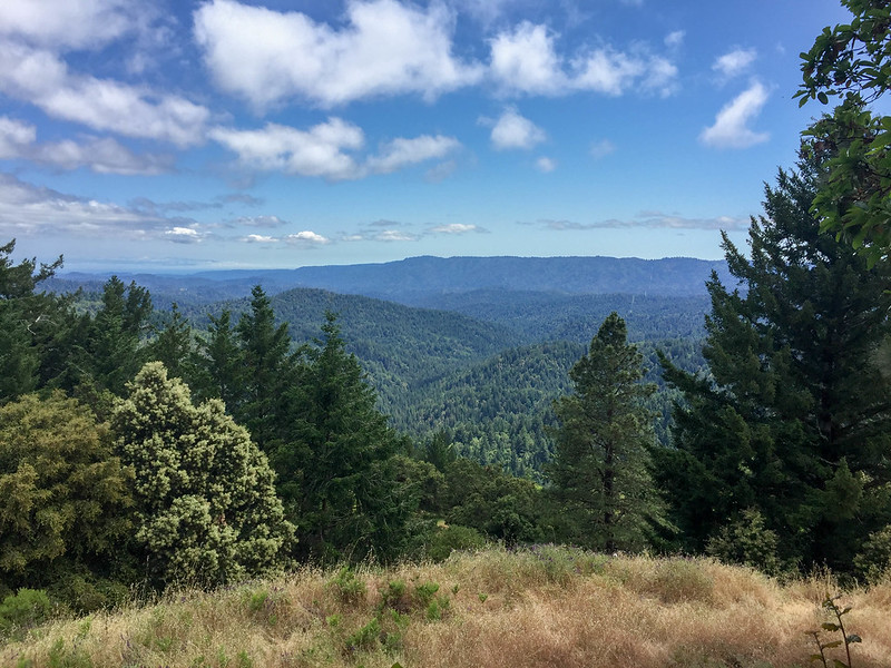
- Panoramic views at Sempervirens Point
ABOUT THE HIKE
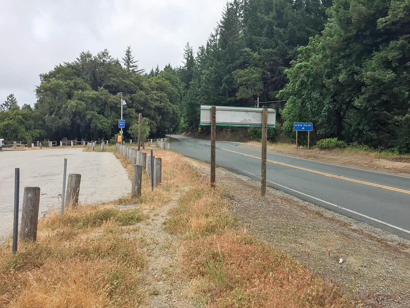
- Parking Lot: At the Caltrans vista point on the southeast corner of the Highway 9 and Highway 35 (Skyline Boulevard) intersection. No cellular reception inside the park.
- Parking Fee: None
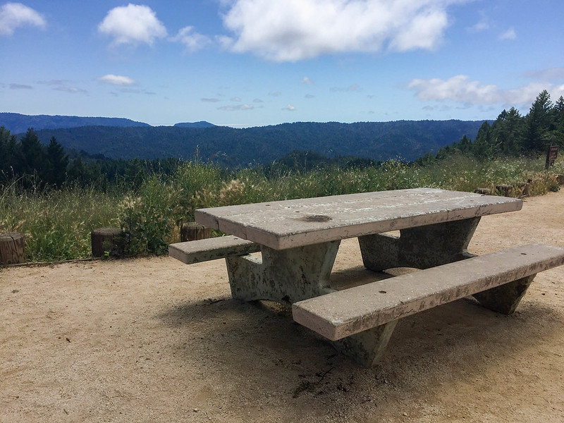
- Restroom: None next to the parking lot or trailhead. One at the Sempervirens Point (‘G’ in the route below), 3 miles from the trailhead.
- Trailhead: From the parking lot, cross Highway 35 and walk south on Highway 9. The trailhead is to the left.
- Route (clockwise):
- Trailhead (A) –> Skyline to the Sea Trail (B)
- Cross Highway 9 –> Trail to the left –> Skyline to the Sea Trail (C)
- Left at the fork –> Nutmeg Trail (D)
- Left at the second fork –> Red Mountain Trail (E) (no named marker for this trail)
- Right before the gate –> Skyline to the Sea Trail (F)
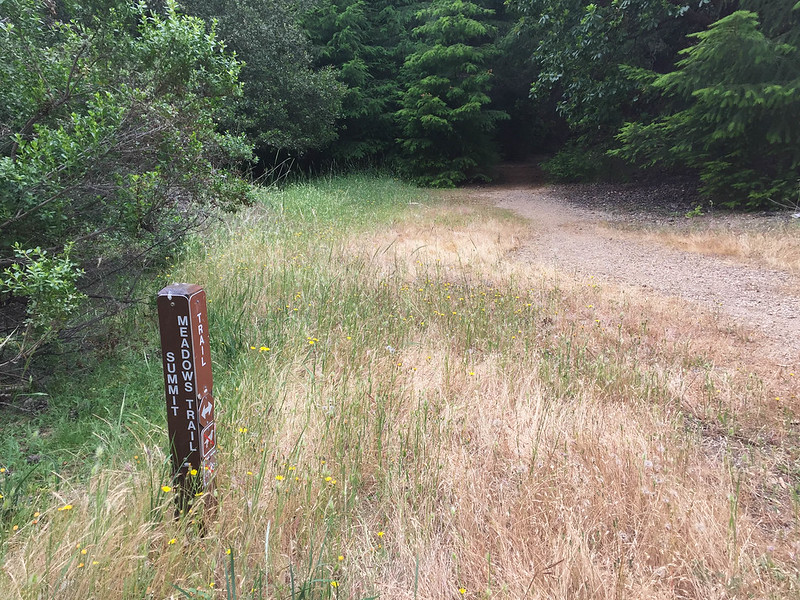
- Cross Highway 9 –> Summit Meadow Trail (G)
- Sempervirens Point (H) — restroom break
- Cross Highway 9 –> Short distance on a paved road –> Right to Skyline to the Sea Trail (I)
- Straight on junction of ‘I’ and ‘E’ –> Skyline to the Sea Trail (J)
- Repeat of ‘C’
- Cross Highway 9 –> Repeat of ‘B’
- Route Map:
- Distance: 5.33 miles
- Time: 2 hours 25 minutes
- Elevation Gain: 1079 feet
- Exposure: Completely shaded
- Company: Solo
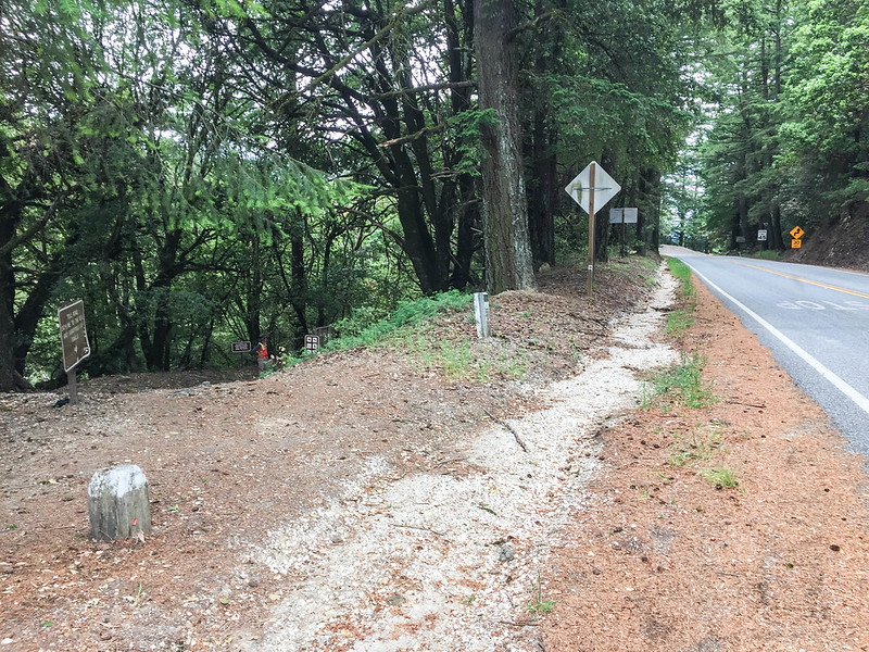
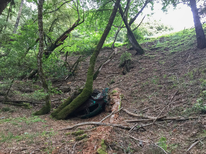
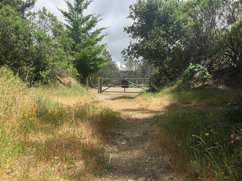
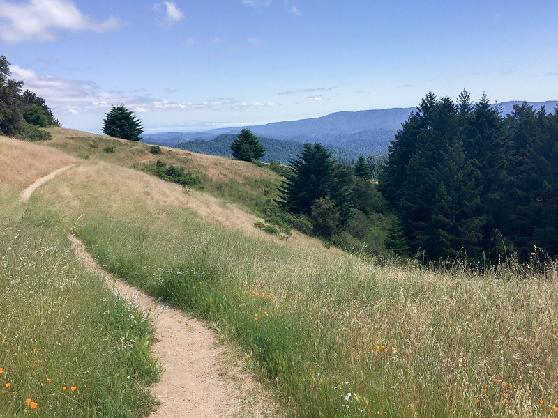
SHOTS FROM THE HIKE


One thought on “Castle Rock State Park, Skyline-to-the-Sea Trail”