Location: Los Gatos, Santa Clara County
Hike Date: 2017, June 7, Wednesday
Hike Stats: 6.85 miles, 1400 feet elevation gain
features
- Black Mountain summit
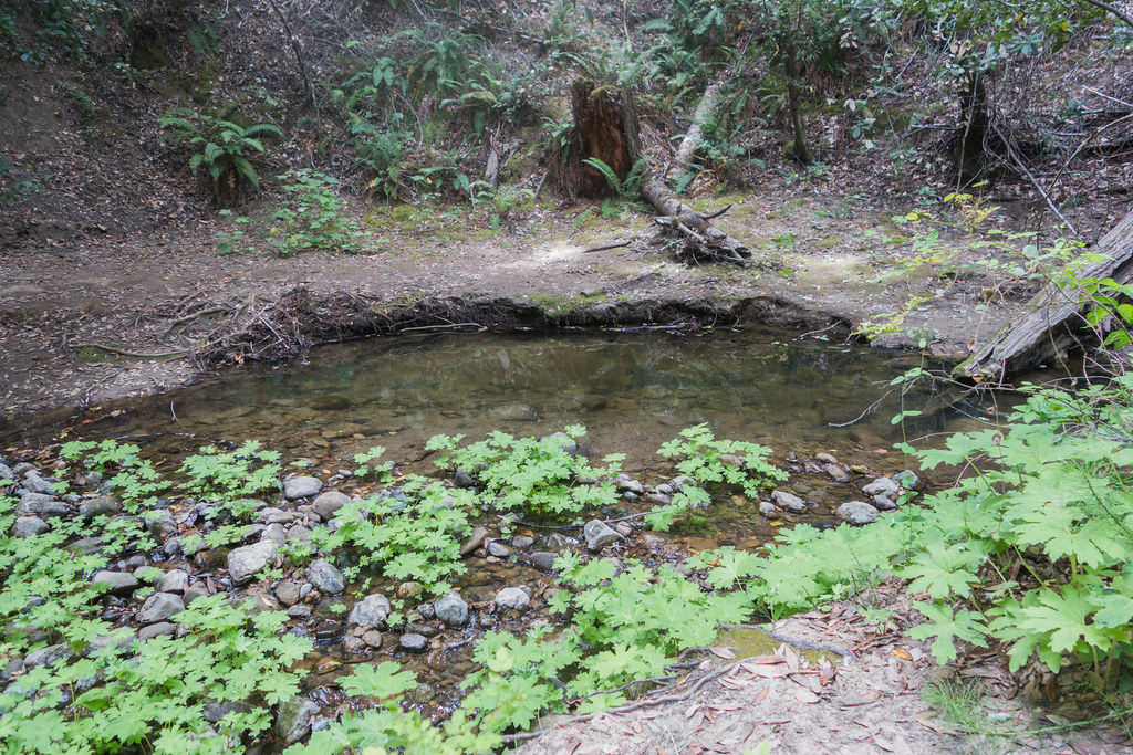
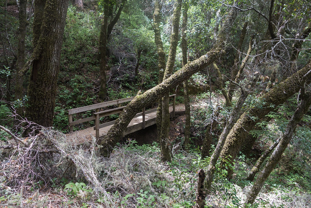
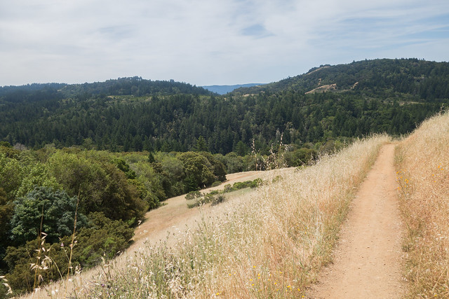
- Creekside woodland
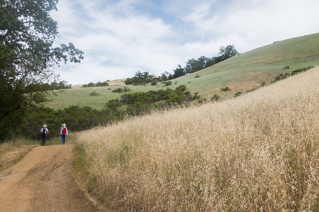
- Grasslands
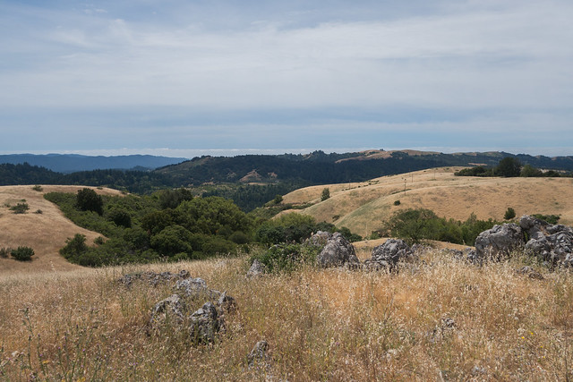
- Panoramic views
- Sag Pond
ABOUT THE HIKE
- Parking Lot: Monte Bello Open Space Preserve Parking Lot [37.325820, -122.178708]. No cellular reception inside the preserve.
- Parking Fee: None
- Restroom:
a. Next to the parking lot/trailhead (‘A’ in the route below)
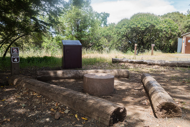
b. Backpack Camp (‘F’ in the route below) - Trailhead: Next to the parking lot
- Route (anti-clockwise):
- Trailhead (A)
- Stevens Creek Nature Trail (B)
- Left at the T-junction –> Canyon Trail (C)
- U-Turn on Canyon Trail –> Bella Vista Trail (D)
- Old Ranch Trail (E)
- Signs for “To Backpack Camp” (F) — lunch and restroom break
- Turn right on Backpack Camp road
- Left at the T-junction –> Indian Creek Trail (G)
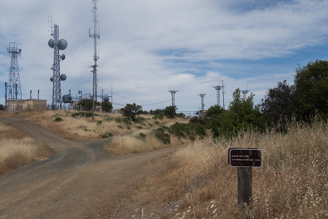
- Monte Bello Rd (H)
- Black Mountain summit (I) — turnaround point
- Monte Bello Rd (J) — repeat of a part of ‘H’
- Bella Vista Trail (K) — repeat of ‘D’
- Canyon Trail (L)
- Stevens Creek Nature Trail (M) — repeat of a part of ‘B’
- Route Map:
- Distance: 6.5 miles
- Time: 5 hours (Should typically take 3.5 hours but we took longer to finish the loop on account of an unwell participant)
- Elevation Gain: 1400 feet
- Exposure: Equal parts exposed and shaded
- Company: Docents Judy Sencenbaugh and Marie-Anne Neimat. (MROSD’s Docent-led Activity: Spring Into Summer). In all, 4 people.
ten photos from the hike
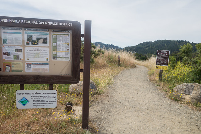


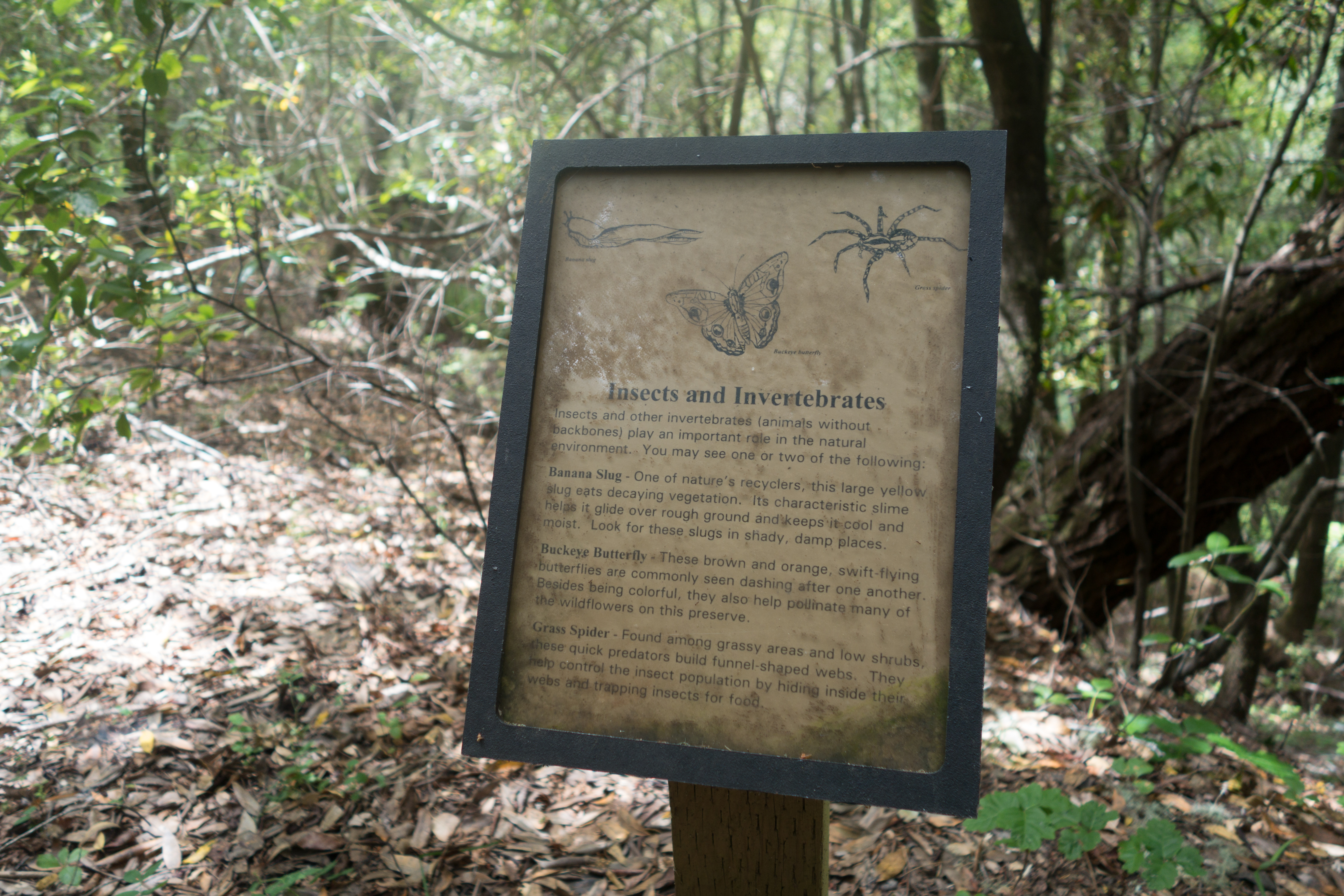
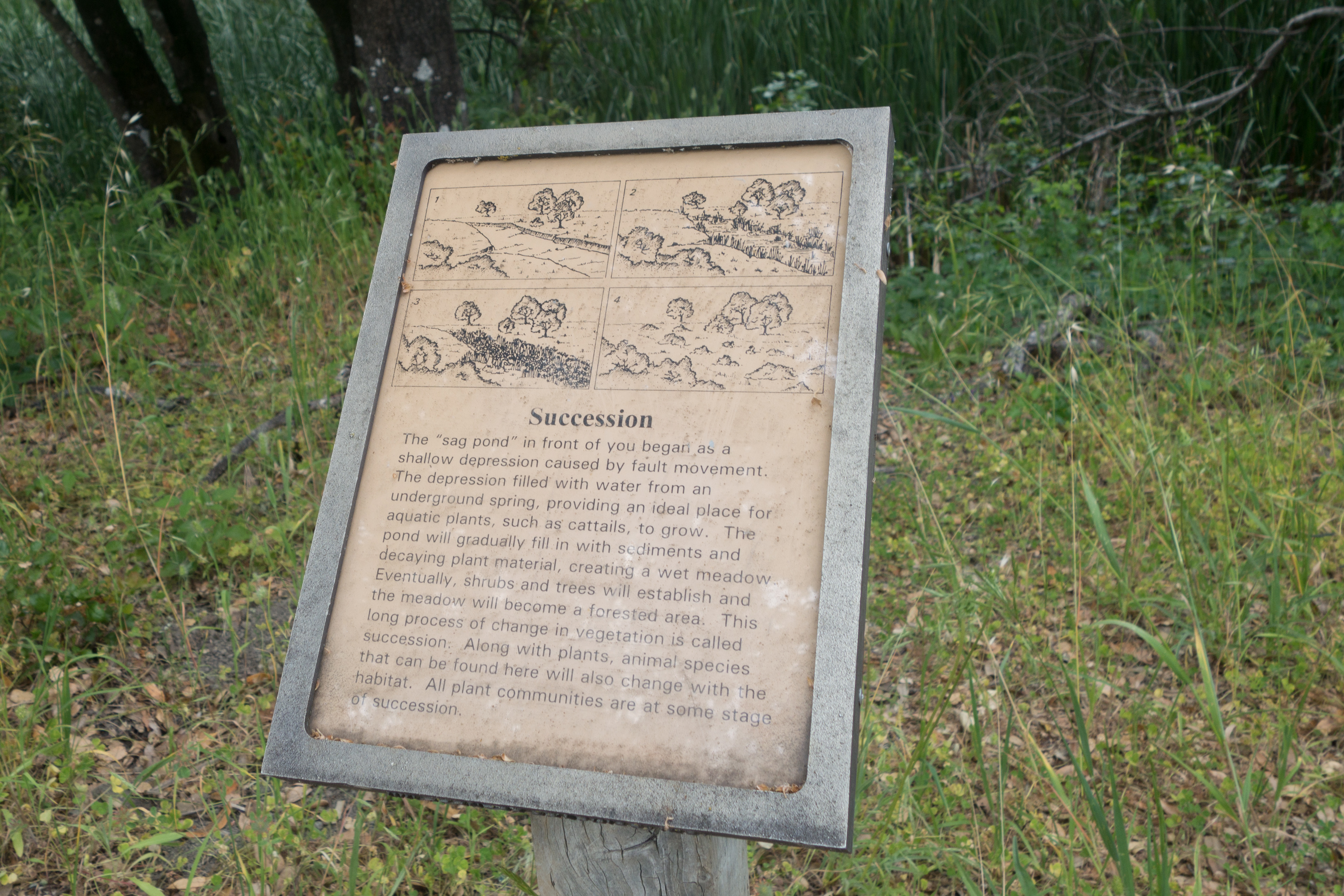
Interpretive signs along the trails:


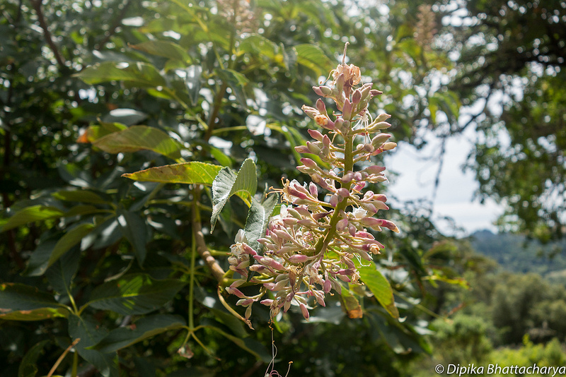
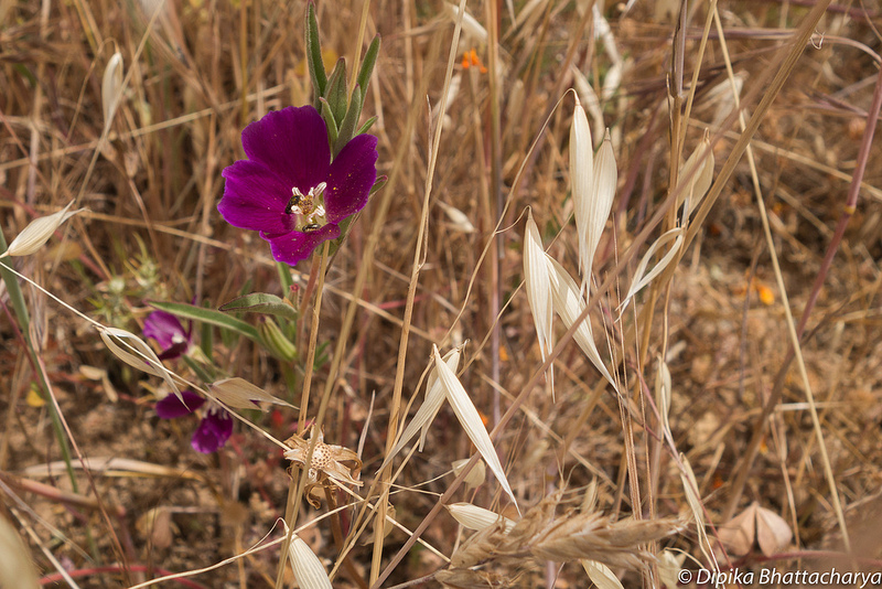
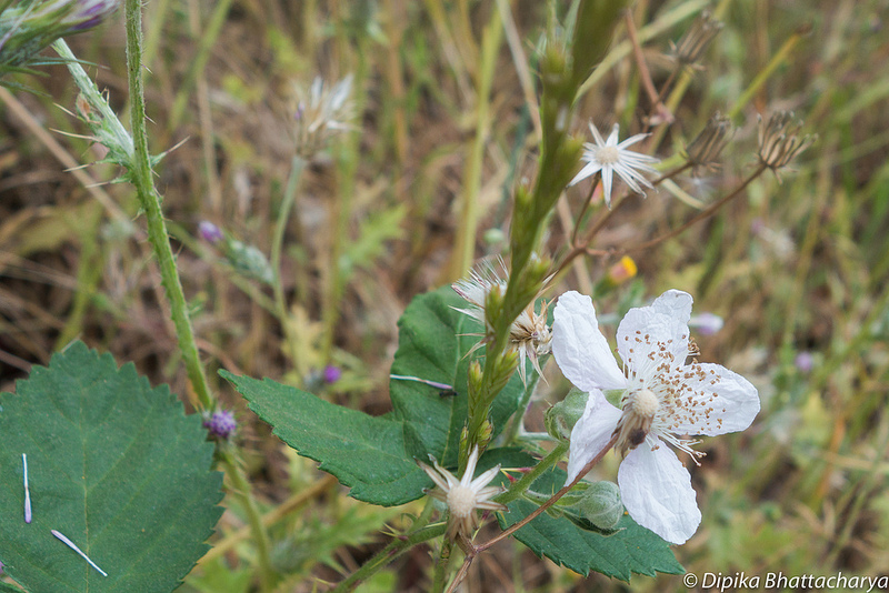
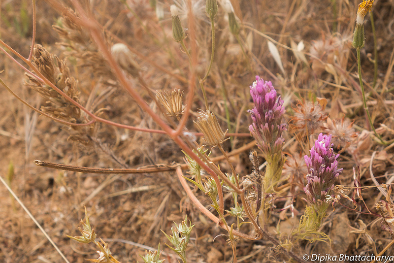
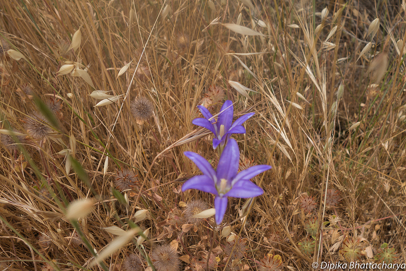
Some of the plants spotted in the preserve:


One thought on “Monte Bello Open Space Preserve”