Location: Near Redwood City, San Mateo County
Hike Date: 2017, April 20, Thursday, 12:40 pm
Hike Stats: 7.3 miles, 3.00 hours, 1280 feet elevation gain
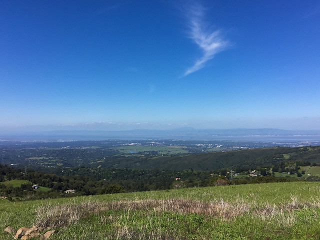
 “This preserve is known for its showy display of wildflowers in spring. In summer, the hills turn to gold with the late evening sunlight. Autumn, when the fog recedes, is the ideal time to enjoy the ridge views of San Francisco Bay and the Santa Cruz Mountains through the crisp, clean air. Winter storms occasionally dust the top of the hills with snow.” (text source: mrosd)
FEATURES
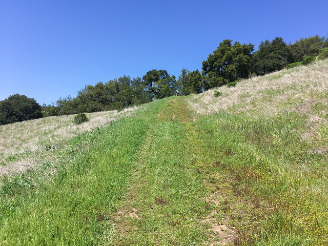
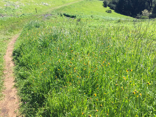
- Wildflowers in spring
- Grasslands
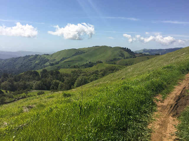
- Panoramic views
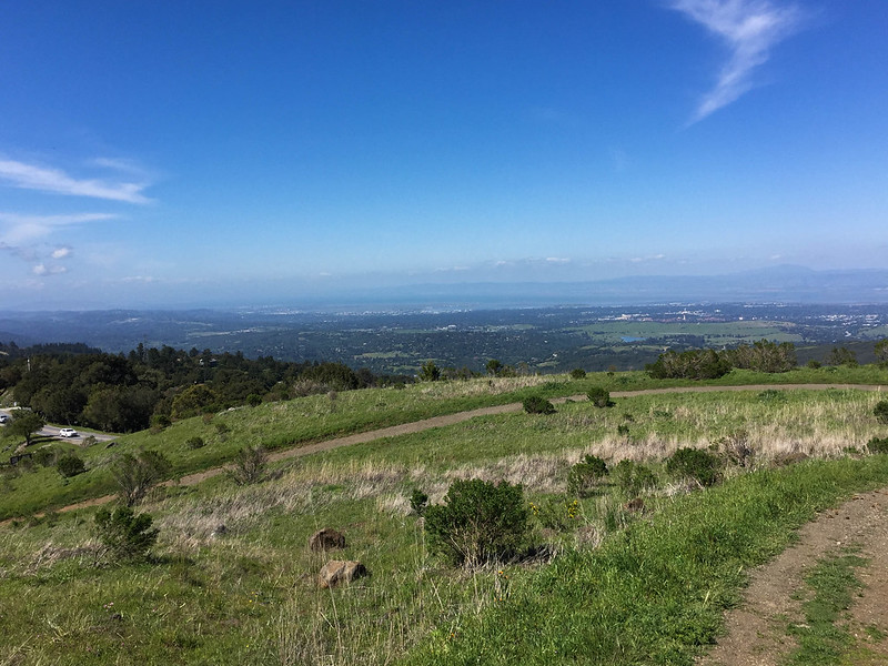
- Audrey C. Rust Commemorative Site (offers sweeping views of forests and ridges)
- Borel Hill (highest point in San Mateo County, which offers a 360-degree view)
ABOUT THE HIKE
This one was a solo hike. I had been hearing a lot about spring wildflowers in the midpeninsula preserves, so I picked the Russian Ridge preserve to check them out. I was perhaps a bit late in the season because I did not see the hill sides gushing with wildflowers.
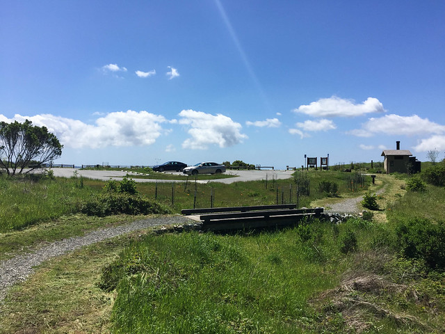
You can drive directly to two vista points on this hiking route – Audrey C. Rust Commemorative Site on Alpine Rd and Skyline Blvd Vista Point to visit Borel Hill. They have their own parking lots.
Apart from being completely exposed, the hike was going well until I encountered TWO BOBCATS on the last leg of the hike (on Borel Hill). There was no other human being in sight. Thankfully, these cats were quite some distance away to give me time to make my move, which was basically throwing my hands up in the air to appear larger, the same tactic that is advised should you come across a mountain lion. The Bobcats camouflaged well with the height and color of the dry grass. One of them went into the bushes. The other one kept staring at me without moving a muscle. Luckily for me, I must have appeared rather boring or non-threatening to this second one, who after a few minutes (seemed like an eternity at that time) also disappeared into the bushes. I tried to get out of that area as fast as I could and thanked my stars. Even open and exposed preserves can pose wildlife dangers.
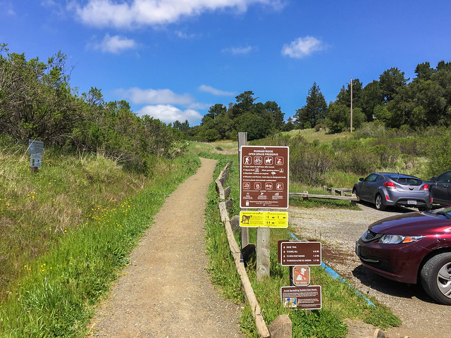
- Parking Lot: Russian Ridge Open Space Preserve Parking Lot. Parking space is almost adequate but might get full quickly on weekend.
- Parking Fee: None
- Restroom: Next to the parking lot
- Trailhead: Next to the parking lot
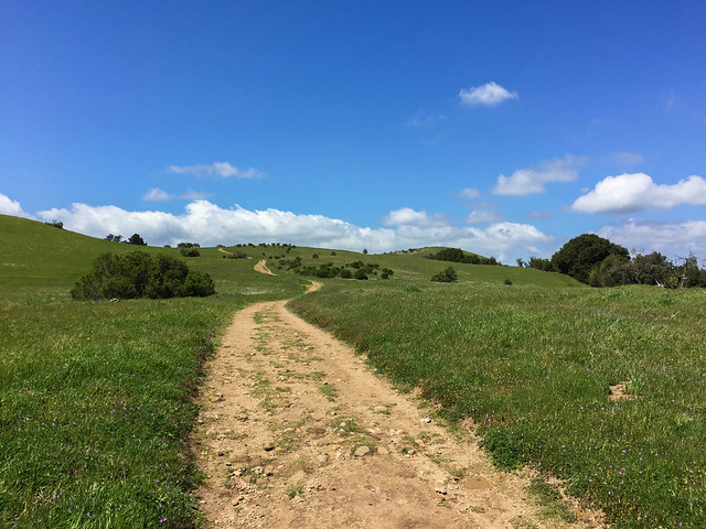
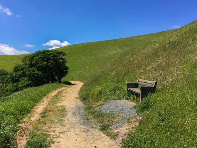
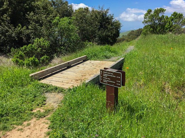
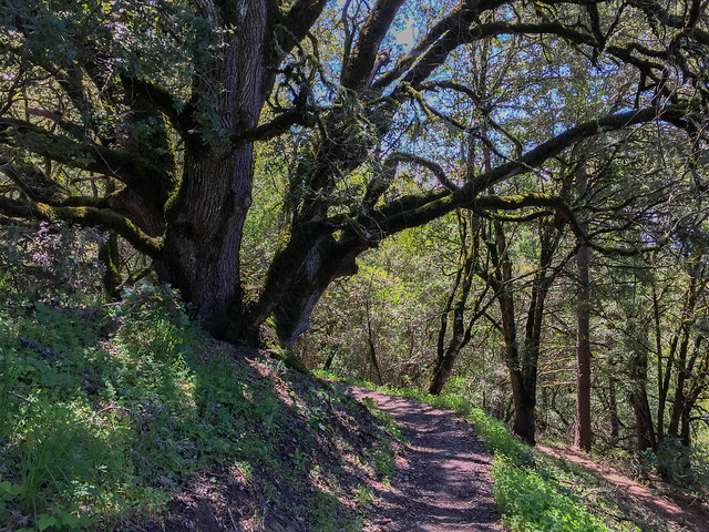
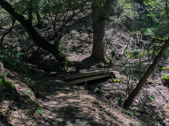
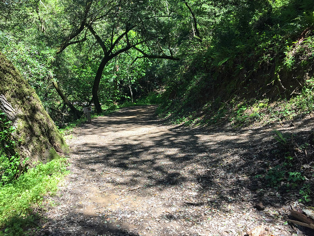
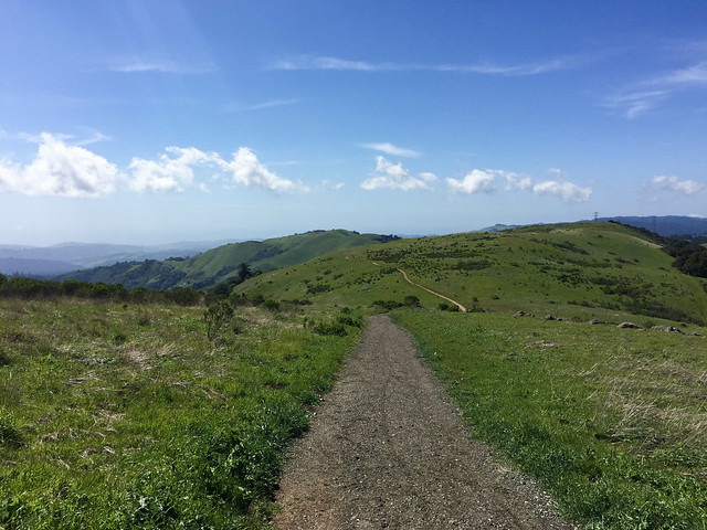
- Exposure: Completely exposed; small parts of Ancient Oaks Trail (C) and Charquin Trail (F) are slightly shaded
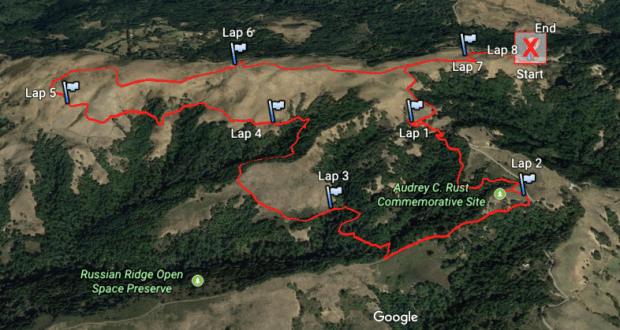
- Route (Clockwise Loop):
- Summary: Trailhead – Ridge Trail – Ancient Oaks Trail – Audrey’s Way – Mindego Hill Trail – Charquin Trail – Alder Spring Trail – Hawk Ridge Spring Trail – Ridge Trail
- Detailed:
- Trailhead (A) –> Ridge Trail (B)
- Left at the first fork towards Ancient Oaks Trail
- Left at the next fork (both right and left trails are named Ancient Oaks Trail; the right trail joins Charquin Trail (F) to form a smaller hike loop) –> Ancient Oaks Trail (C)
- Right over a short, wooden plank bridge to continue on Ancient Oaks Trail (C)
- Right through a parking lot –> Audrey’s Way (D) –> Audrey C. Rust Commemorative Site
- Come back on Audrey’s Way (D) –> right to continue on Audrey’s Way (D) around the parking lot
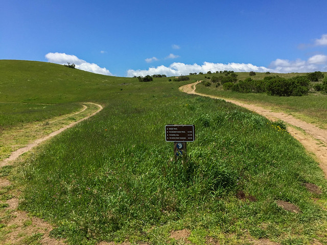
- Right at the T-junction –> Mindego Hill Trail (E)
- Right (there is trail marker but the trail path was hidden by overgrown grass) –> Charquin Trail (F)
- Stay on Charquin Trail (F) at the junction with Ancient Oaks Trail
- Left at the fork –> Alder Spring Trail (G)
- Right at the fork –> Hawk Ridge Spring Trail (H)
- Right at the four-way junction (both trails going straight and right are named Ridge Trail) –> Ridge Trail (I)
- Continue straight on junctions with Charquin Trail and Ridge Trail
- Route Map:
- Terrain Profile:
HIKE STATS
- Distance: 7.3 miles
- Time: 3 hours (Moving Time: 3 hours 4 minutes)
- Avg Moving Pace: 24:52 min/mi
- Elevation Gain: 1280 feet
- Elevation Profile:

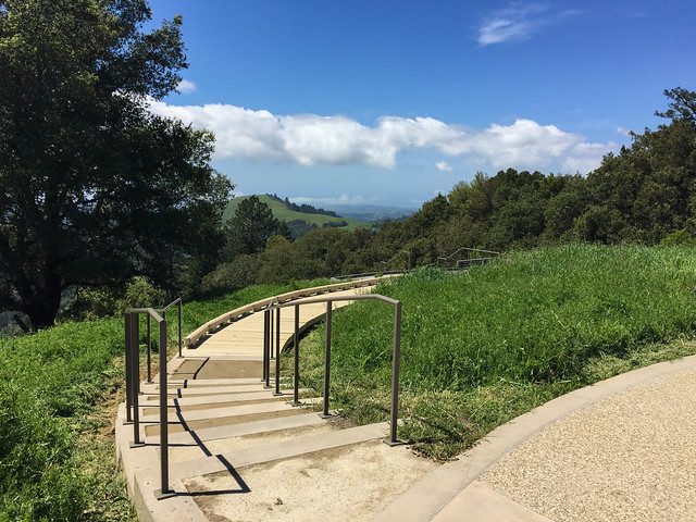
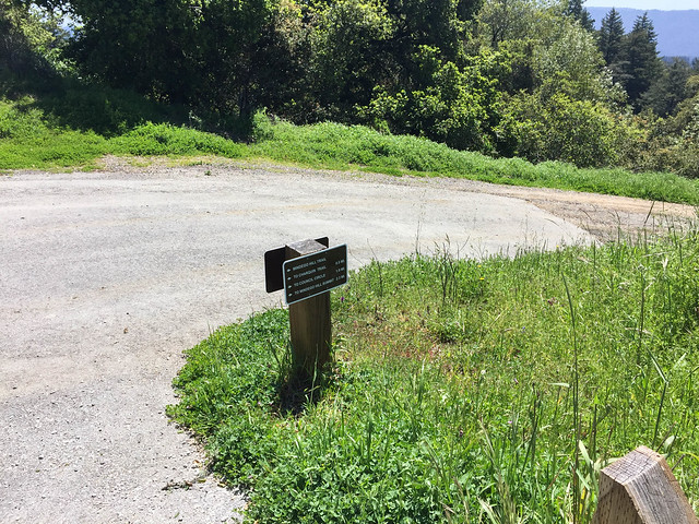
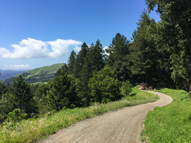
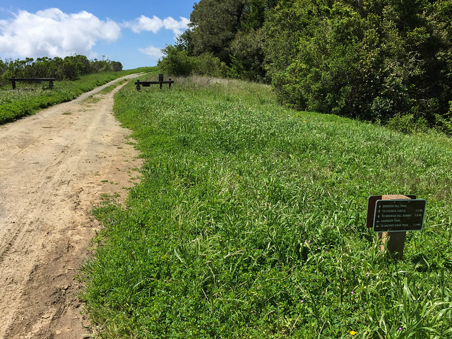
SHOTS FROM THE HIKE