Location: Los Altos, Santa Clara County
Hike Date: 2017, July 28, Friday, 01:00 pm
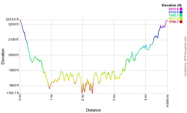
Hike Stats: 4.7 miles, 1.45 hours, 1090 feet elevation gain
 “Los Trancos Open Space Preserve is an ideal spot to learn about earthquake geology. The San Andreas Fault, one of the world’s longest and most active faults, splits the preserve. In the preserve, visitors will find a pleasant environment of rolling grassland knolls alternating with oak woodland and cool shaded forest.” (text source: mrosd)
FEATURES
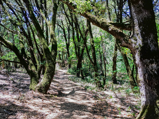
- Oak forest
- Open meadow
- San Andreas Fault Trail
ABOUT THE HIKE
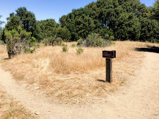
I missed Friday morning’s docent-led hike to this preserve, but later in the day I decided to go alone anyway. It was probably a bad decision to hike during the hottest time of the day. And because I ran out of water in the later part of the hike, I had to skip the San Andreas Fault Trail, the most noteworthy spot to visit in this preserve.
-
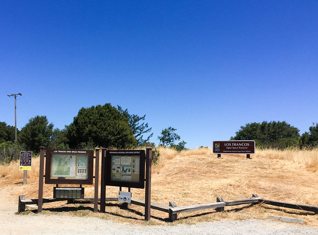
- Parking Lot: Los Trancos Open Space Preserve Parking Lot. There is ample space here or one could park at Monte Bello Open Space Preserve, directly across the Page Mill Road.
- Parking Fee: None
- Restroom: None here. There is one at Monte Bello Open Space Preserve, directly across the Page Mill Road.
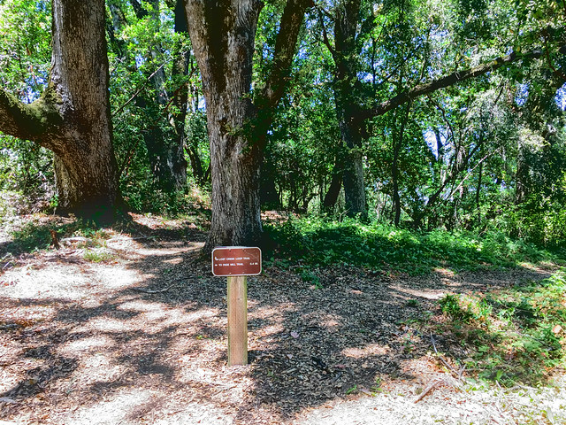
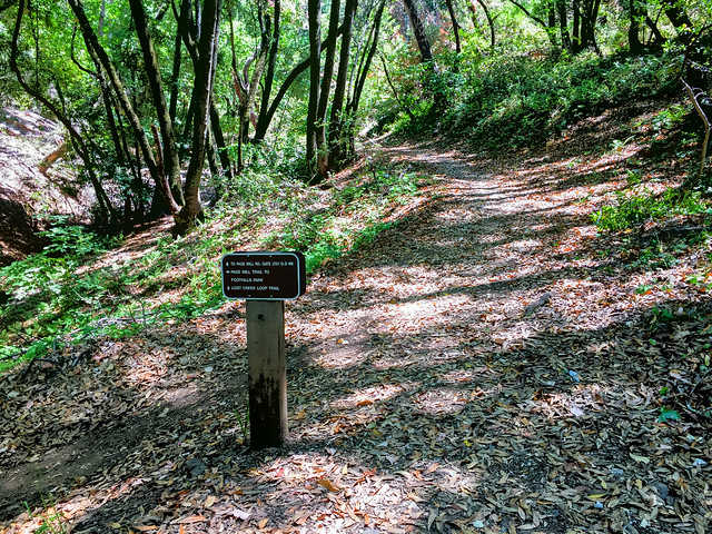
- Trailhead: There are two trailheads next to the parking lot, one straight up, next to the preserve name and map and the other to the left. Trails from both the trailheads are named Franciscan Loop Trail and they both converge after a little distance.
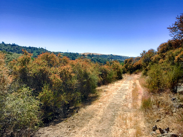
- Exposure: Mostly exposed (Page Mill Trail is completely exposed).
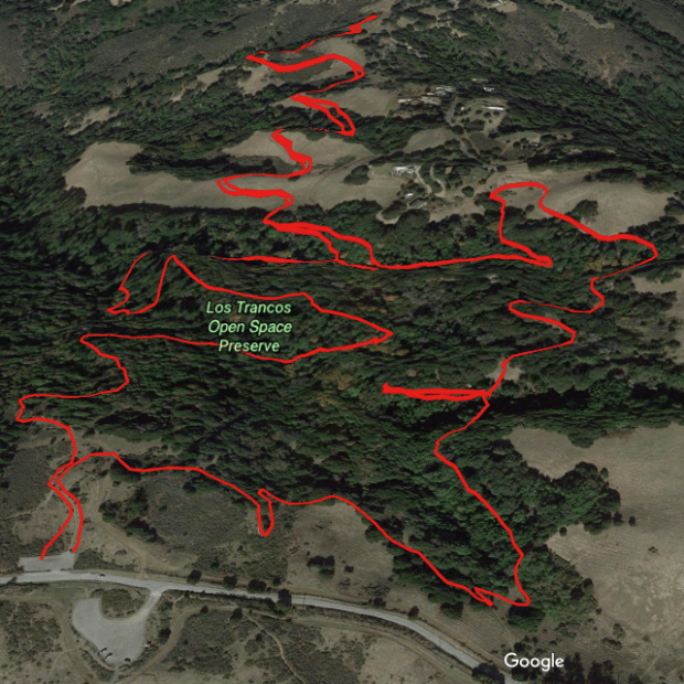
- Route (Loop and out-and-back):
- Trailhead (A) –> Franciscan Loop Trail (B)
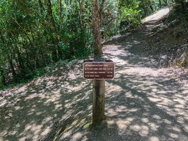
- Left at the four-way junction (all four trails are called Franciscan Loop Trail)
- Left at the fork toward Lost Creek Loop Trail
- Left at the next fork (both right and left trails are named Lost Creek Loop Trail) –> Lost Creek Loop Trail (C)
- Left at the fork (both right and left trails are named Page Mill Trail) –> Page Mill Trail (D)
- Out-and-back –> Page Mill Trail (D)
- Left at the fork –> Page Mill Trail (E)
- Left at the fork (both right and left trails are named Franciscan Loop Trail) –> Franciscan Loop Trail (F) (I went on a wrong trail here and came back to take the left fork)
- Note: The San Andreas Fault Trail is on this last leg of Franciscan Loop Trail. You can do it either at the end or begin the hike with this stretch of Franciscan Loop Trail to get to the San Andreas Fault Trail. I had to skip the San Andreas Fault Trail in this trip because I had run out of water and was very tired from the heat.
- Route Map:
- Terrain Profile:
HIKE STATS
- Distance: 4.7 miles
- Time: 1 hour 48 minutes (Moving Time: 1 hour 40 minutes)
- Avg Moving Pace: 21:34 min/mi
- Elevation Gain: 1090 feet
- Elevation Profile:
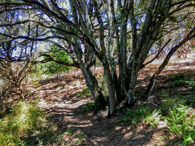
Shots From the Hike