Location: Los Gatos, Santa Clara County
Hike Date: 2017, June 10, Saturday
Hike Stats: 5.4 miles, 4 hours, 1700 feet
Previous Visit: 2015, October 4, Sunday

For my previous trip to this state park in 2015, check out this post.
For other trails in Castle Rock State Park, check out this post on Skyline to the Sea Trail.
TOP
| * Parking | * About the State Park |
| * Restroom | * Route |
| * Trailhead | * Route Map |
| * Exposure | * Shots from the Hike |
PARKING
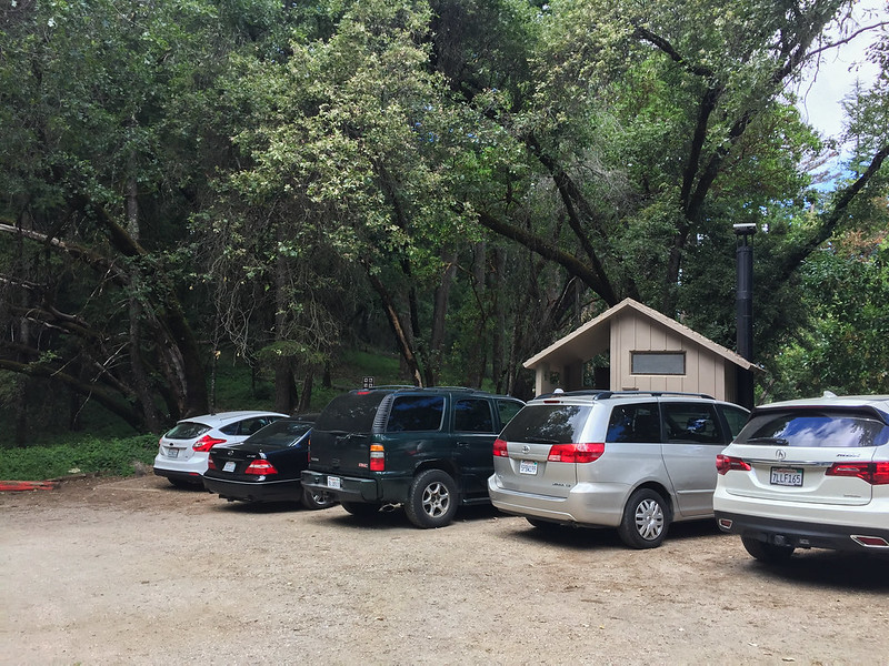
- Parking Lot: Castle Rock State Park Parking Lot. No cellular reception inside the preserve.
- Parking Fee: $8 inside the parking lot, which can get full quickly on weekends. Street parking is free, but even the street parking spots are limited.
RESTROOM
Next to the parking lot/trailhead (‘A’ in the route below)
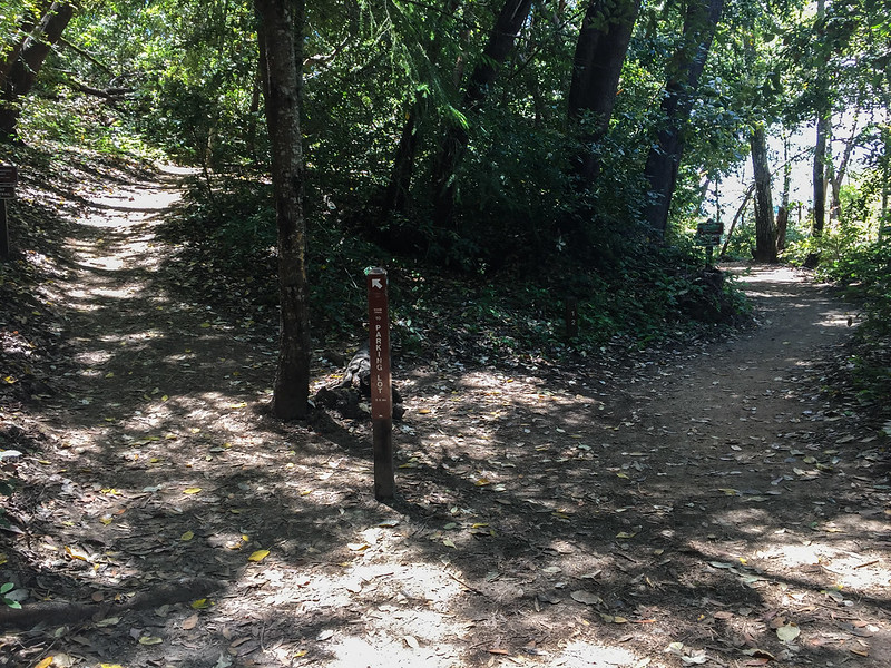
TRAILHEAD
Next to the parking lot
EXPOSURE
Mostly shaded, some parts exposed
ABOUT THE STATE PARK
- Castle Rock Falls – there is an observation platform
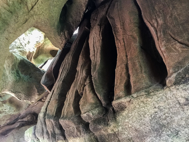
- Numerous sandstone outcrops with ‘tafoni’ formations including the Castle Rock and Goat Rock
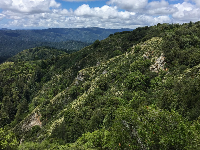
- Panoramic views
- Russell Point
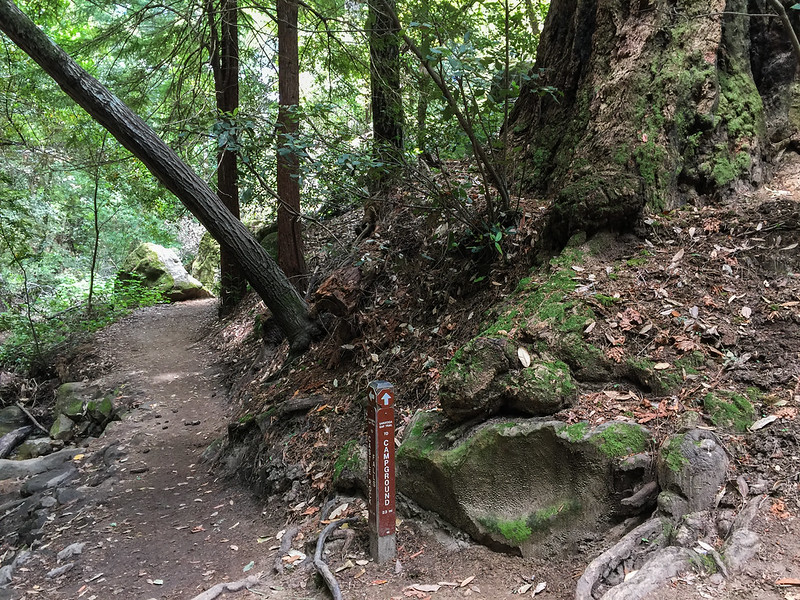
ROUTE (LOOP, CLOCKWISE)
- Trailhead (A)
- Lower trail at the fork after the bridge, signs for ‘Campground’ / ‘Castle Rock Falls’ –> Saratoga Gap Trail (B)
- Ridge Trail (C) — turnaround point
- Stairs down after the Goat Rock –> Ridge Trail (C)
- Saratoga Gap Trail (D) — repeat of a part of ‘B’
ROUTE MAP
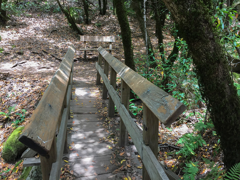
SOME SHOTS FROM THE HIKE

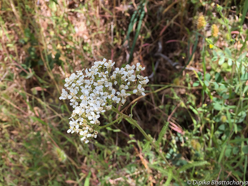
Some of the plants spotted in the park:


2 thoughts on “Castle Rock State Park, Saratoga Gap Trail”