Location: Portola Valley, San Mateo County
Hike Date: 2019, October 16, Wednesday, 10:30 am
Hike Stats: 4 miles, 2 hours 50 min, 595 feet
PARKING
Windy Hill Open Space Parking. There seem to be ample parking spots, but I am guessing that the space would be running out on weekends. I was visiting on a weekday and most of the spots seem to be taken, what with the preserve’s popularity and access.
No parking fee
RESTROOM
At the end of the parking lot and next to the trailhead
TRAILHEAD
Next to the parking lot
EXPOSURE
Mostly exposed, some trails are shaded
FEATURES OF THE PRESERVE
- A popular preserve for hiking, trail running, cycling, and horse riding
- Panaromic views of the bay and the valley
- Forested areas and open grasslands
- Sag pond: Sausal Pond on the San Andreas Fault
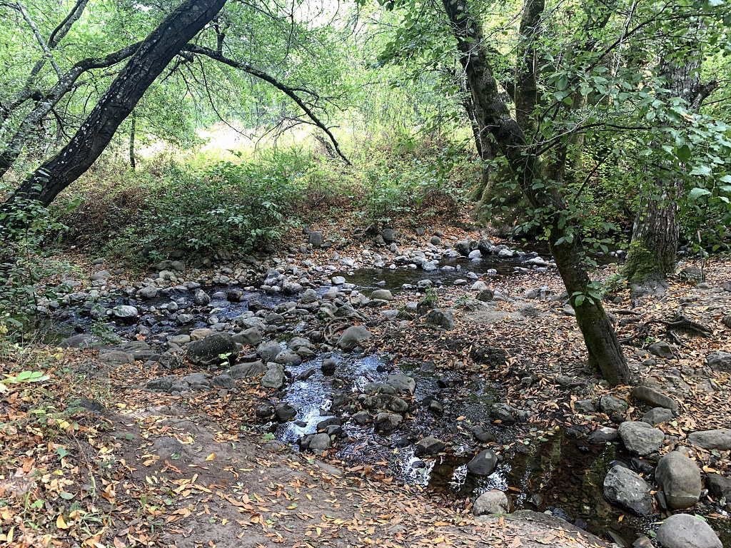
- Creeks: Hamms Gulch Creek, Corte Madera Creek
- Dogs: Permitted on designated trails, on leash
ABOUT THE HIKE
This was a docent-led hike (Explorer Hike: Natural Wonders), with Laura Levin leading the group and Dennis Smith, Kate Gudmundson, and Mary Brunkhorst assisting with the hike and answering questions, if any. It was a leisurely-paced hike and we stopped frequently to learn about the plants and animals in the area.
From the pictures that I had seen on the net, I was under the impression that this preserve was completely exposed and that the trails were all strenuous. But this docent-led hike took the group on some fairly shaded trails, apart from some exposed ones. And with all the talking with the group while walking, the incline on some trails seemed bearable.
ROUTE (LOOP, COUNTER CLOCKWISE)
SUMMARY
(A) Parking Lot/Trailhead >>> (B) Betsy Crowder Trail >>> (C) Spring Ridge Trail >>> (D) Meadow Trail >>> (E) Hamms Gulch Trail >>> (F) Eagle Trail >> (G) Alpine Rd >>> (H) Meadow Trail >>> (I) Spring Ridge Trail
DETAILED
- Trailhead (A) >>> Continue straight and past a gate to enter the Betsy Crowder Trail (B).
- Right on the T-junction to join the Spring Ridge Trail (C).
- Keep an eye for a trail on the left to get on the Meadow Trail (D). Keep right on the next two forks to stay on the Meadow Trail.
- Right on the T-junction >>> Hamms Gulch Trail (E) >>> cross the Hamms Gulch Creek.
- Left at the fork >>> Eagle Trail (F). We stopped here on a road bridge for a lunch break, where Laura gave us some history of the the pillars and the surrounding area.
- Keep going on the Eagle Trail until it joins the road and turn left >>> Alpine Rd (G).
- Left to re-enter the preserve >>> Meadow Trail (H).
- Keep right at the fork.
- At the four-way junction, continue straight to Spring Ridge Trail (I). Some way down, you will pass the Sausal Pond on the left.
- Go right to reach the trailhead and the parking lot.
ROUTE MAP
TERRAIN PROFILE
Map rotated by 90 degrees

ELEVATION PROFILE

SHOTS FROM THE HIKE


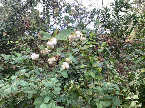
Flip through the pictures below to see the plants we learned to identify: