Here are answers to some of the questions I had while trying to understand how I, as an English, non-German speaker, could best use public transport in Berlin. This article currently focuses on options around the city center.
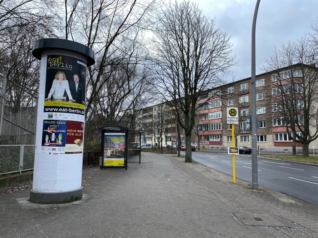
U-Bahn Station sign on the ground level and the stairs that take you underground to the station platform “Haltestelle“, the bus stop
There are three zones in Berlin to determine ticket fares: A (center), B (between A and city boundary), C (outskirts)
The term “Ring” /S-Bahn Ring / Ringbahn describes the region around Zone A, the central part of Berlin, where S-Bahn connects with other S- and U-Bahn lines.
The S-Bahn covers 27 stations along the Ringbahn and takes 60 minutes to complete one round. Lines S41 and S42 form the Rignbahn: S41 moves clockwise and S42 moves anticlockwise.
– Public transport provider – Maintains bus and trams lines – U-Bahn is operated by BVG and is part of VBB.
VBB
Verkehrsverbund Berlin-Brandenburg
– Transport association of public transport providers in the states of Berlin and Brandenburg – S-Bahn is a subsidiary of DB and is part of VBB. – VBB maintains the common public transport tariff
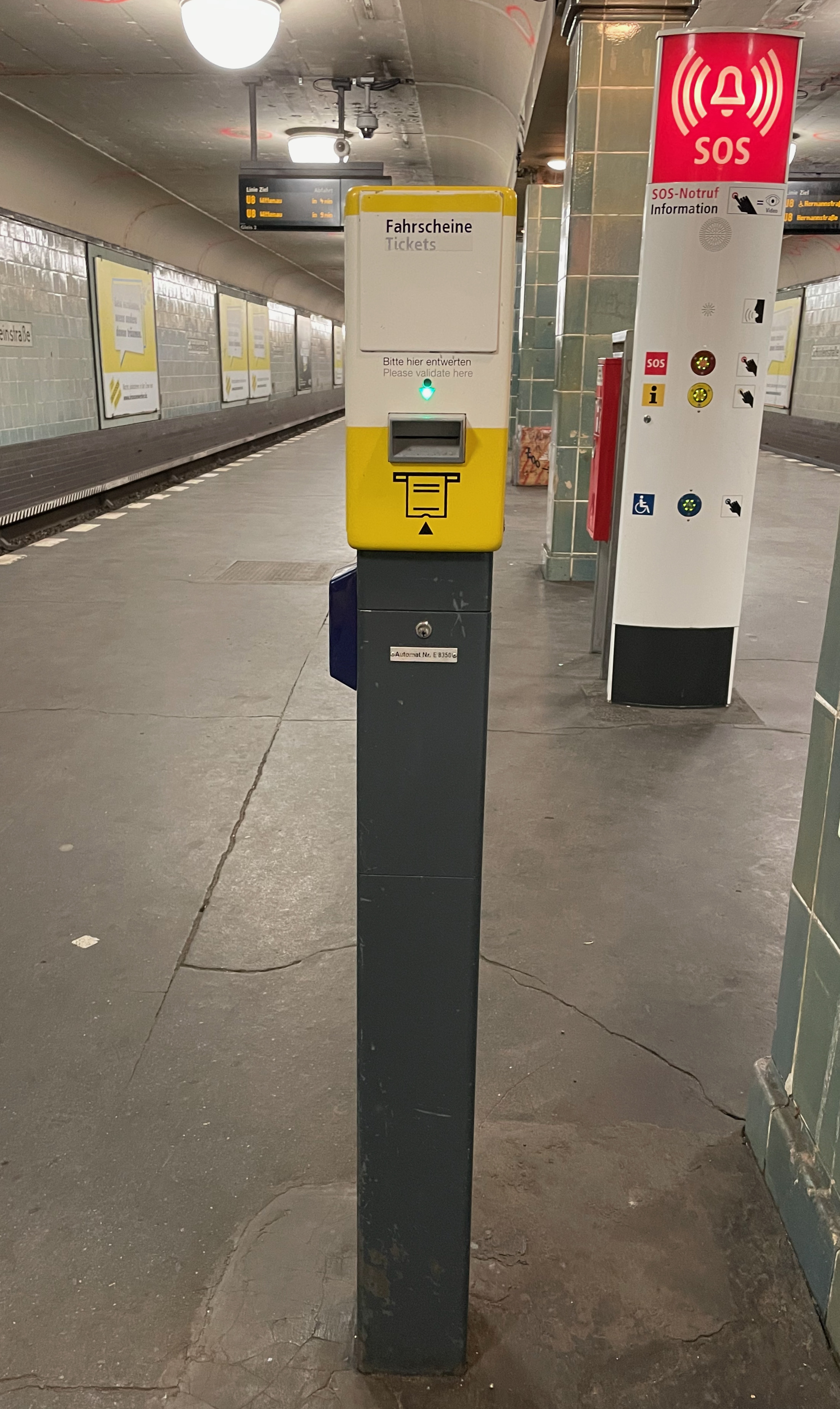
After buying a ticket, you need to validate the ticket at the Entwerter (yellow or red boxes) before riding a train (or after boarding a bus if the ticket is not already validated).
Ticket validating machine at a U-Bahn station
There are no turnstiles for getting on the U-Bahn or S-Bahn.
Daily, Weekly, Monthly, Annual tickets are quite self-explanatory. When buying, you will need to consider both the duration for which you need the ticket and the zones in which you will be traveling. These are the terms you will frequently come across when selecting a ticket.
One Person
Kurzstrecke
Short distance ticket
S/U-Bahn: Maximum three stops, you can change trains (~20 minutes) Bus/Tram: Maximum six stops, no changing allowed
Regular: €2.00
Einzelfahrkarte, Einzelfahrschein
Single trip ticket
Valid for 2 hours
Regular, AB zone: €3.00
Tageskarte
Day ticket
Valid for 24 hours
Regular, AB zone: €8.80
7-Tage-Karte
Weekly ticket
Valid for seven consecutive days
Regular, AB zone: €36.00
Monatskarte
Monthly ticket
Monthly flexible pass
Regular, AB zone: €86.00
Jahreskarten
Annual ticket
Subscription available online
Regular, AB zone: €903.00
Group
Tageskarte, Kleingruppe
Day Ticket, 5 people
Valid for 24 hours
Regular, AB zone: €25.50
You can carry a bicycle only on marked cars of a U-Bahn or S-Bahn and it costs an additional €2.00 in AB zone.
More details about the types of tickets at BVG or VBB.
By Mode of Transport
There are no separate or different tickets for buses or U-Bahn/S-Bahn. With a validated ticket, you can access all modes of public transport: S-Bahn, U-Bahn, buses, and trams.
A validated, single-trip ticket can be used, one per person, across S-Bahn, U-Bahn, and bus if used within 2 hours of purchase “in one direction”. DO NOT USE THE SAME TICKET FOR RETURN JOURNEY.
3. Jelbi – get all features in one app. This is the one I am currently using.
It has a friendly interface. You can choose the language as English.
The first time you add your payment details, the app will make a €1 charge that you will need to approve at your bank or card.
You can check out public transport routes and buy tickets (U, S, Bus, Tram, Ferry). The ticket you buy is validated effective immediately (the 20-minute or 2-hour counter starts right after you buy the ticket).
Using this app, you can even book a car share (license required), scooter share (license required), bike share or book a taxi.
There is a tutorial within the app, but it is in German.
You can register on the app as well as add a payment method. The app will make a €0-1 charge that you will need to approve at your bank or card.
You can set home and work addresses as well as save any other frequented addresses.
You can plan your trip and buy tickets. Mobile tickets are usually valid immediately.
For your trip, the app will suggest the modes of transport available and also tell you the tickets you need to buy for the trip.
You can specify the mode of transport the app should use to suggest a route. For example, you can choose only U-Bahn and S-Bahn and no buses or trams will be suggested for your chosen trip.
You can save future trips and also set an alarm.
Some parts of the app, like the ticket name, are in German.
The coolest feature perhaps is that you can view a live map of the various public transports. You will see the trains and buses move in real-time.
Location: San Jose, Santa Clara County Hike Date: 2020, February 5, Wednesday, 12:00 pm Hike Stats: 7.3 miles, 3 hours, 1399 feet elevation gain
Gear: * Shoes: Patagonia Drifter (Vibram) * Tracking: Garmin Forerunner 235 watch, AllTrails app * Trekking Poles: Black Diamond Distance Carbon Z * Hydration Pack: CamelBak Women’s 2016 Day Star 18
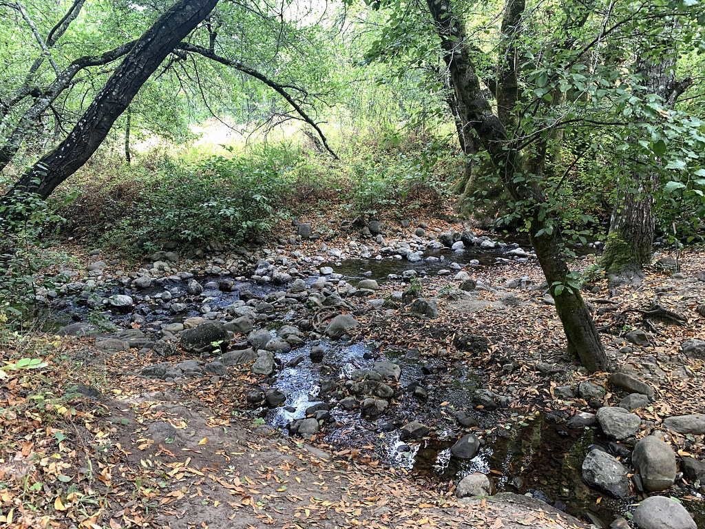
“The Santa Teresa County Park is located in the Santa Teresa Hills, ten miles south of downtown San Jose. This diverse 1,673 acre park, rich in history, offers spectacular views from its trails above the Almaden and Santa Clara Valleys. The secluded upland valleys of the park provide a quiet interlude for exploring the natural environment minutes away from the surrounding developed areas.” (text source: sccgov.org)Continue reading →
Location: Morgan Hill, Santa Clara County Hike Date: 2020, January 24, Friday, 01:00 pm Hike Stats: 8 miles, 3 hours 30 min, 1705 feet elevation gain
Gear: * Shoes: Patagonia Drifter (Vibram) * Tracking: Garmin Forerunner 235 * Trekking Poles: Black Diamond Distance Carbon Z * Hydration Pack: CamelBak Women’s 2016 Day Star 18
“The preserve is in the foothills of the Santa Cruz Mountains in South Santa Clara County. A glistening creek runs along the Llagas Meadow and deer, bobcat, mountain lions, and other wildlife roam throughout the preserve. In the spring months, wildflowers adorn the meadow and hillsides. Recreation amenities include parking for cars and horse trailers, accessible restrooms, and picnic tables.” (text source: openspaceauthority)
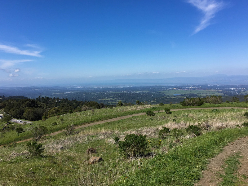
Location: Portola Valley, San Mateo County Hike Date: 2019, October 16,Wednesday, 10:30 am Hike Stats: 4 miles, 2 hours 50 min, 595 feet
“Windy Hill is named for its distinctive, breezy grass-covered hilltop, which can be seen from many areas of the peninsula. The 1,335-acre preserve features open grassland ridges and forests of redwood, fir, and oak. Peninsula Open Space Trust, a local non-profit land trust, provided major support for the acquisition of this preserve.” (text source: mrosd)
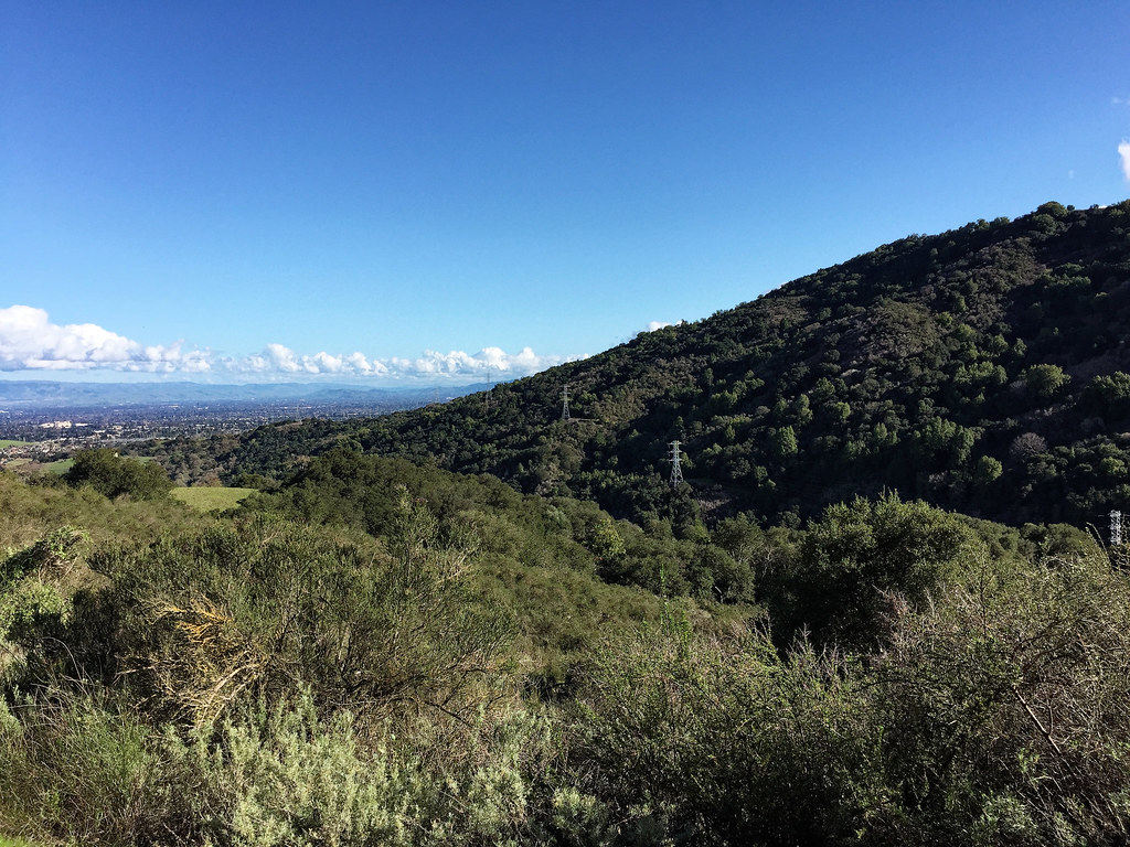
Location: Cupertino, Santa Clara County Loop II: Rogue Valley – Wildcat Loop – Upper High Meadow – Upper Wildcat Canyon Hike Date: 2017, February 16,Thursday, 2:00 pm Hike Stats: 7 miles, 2 h 45 min, 1029 feet elevation gain Previous Visits: 2017: March 18, March 23, April 12, June 3 Loop III: 5-mile loop via the inner Wildcat Loop Trail Hike Dates: 2019-September-8, 2019-October-4, 2019-October-11
“The preserve’s extensive 24 miles of trails are available for exploration, whether one chooses to hike (dogs, however, are NOT permitted), bike, or horseback ride. Trails can be combined to form loops of different lengths and difficulties including the 3-mile Wildcat Loop Trail and the 4-mile Black Mountain Trail.
A highlight of the preserve is Deer Hollow Farm, a working farm with turn-of-the-century ranch buildings, an organic garden and a cow, pigs, goats, sheep, chickens and other animals.” (text source: mrosd)
Location: Near Redwood City, San Mateo County Hike Date: 2017, April 20, Thursday, 12:40 pm Hike Stats: 7.3 miles, 3.00 hours, 1280 feet elevation gain
“This preserve is known for its showy display of wildflowers in spring. In summer, the hills turn to gold with the late evening sunlight. Autumn, when the fog recedes, is the ideal time to enjoy the ridge views of San Francisco Bay and the Santa Cruz Mountains through the crisp, clean air. Winter storms occasionally dust the top of the hills with snow.” (text source: mrosd)
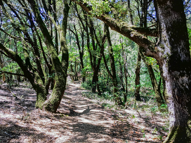
Location: Los Altos, Santa Clara County Hike Date: 2017, July 28, Friday, 01:00 pm Hike Stats: 4.7 miles, 1.45 hours, 1090 feet elevation gain
“Los Trancos Open Space Preserve is an ideal spot to learn about earthquake geology. The San Andreas Fault, one of the world’s longest and most active faults, splits the preserve. In the preserve, visitors will find a pleasant environment of rolling grassland knolls alternating with oak woodland and cool shaded forest.” (text source: mrosd)