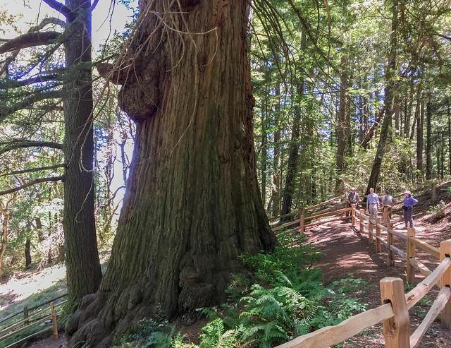
Location: Redwood City, San Mateo County
Hike Date: 2017, June 21, Wednesday, 10:40 am
Hike Stats: 3.3 miles, 1.5 hours, 400 feet elevation gain
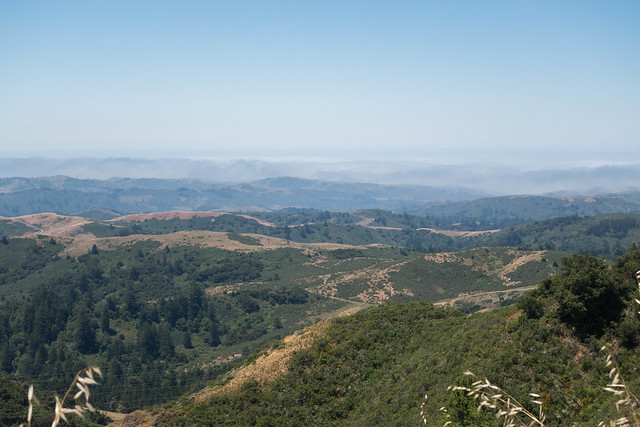 “The panoramic view of the seemingly never-ending valleys leading to the coast is spectacular. On a clear day, visibility extends to the ocean.” (text source: mrosd)